Field-Testing Trace Notes Feature While Walking Dunes

First multi-signal.

Citation
·
Failed to load video
Field-Testing Trace Notes Feature While Walking Dunes
Image unavailable
Field-Testing Trace Notes Feature While Walking Dunes
Image unavailable
Field-Testing Trace Notes Feature While Walking Dunes
Image unavailable
Field-Testing Trace Notes Feature While Walking Dunes
Image unavailable
Photo 1
Photo 2
Photo 3
Photo 4
Summer at Siltcoos: Day 19
May 19, 2026
2:46
Returning to the Lagoon Bench One Year Later
May 19, 2026
Summer at Siltcoos: Day 20
May 20, 2026
Summer at Siltcoos: Day 21
May 21, 2026
12:09
Walking to Ocean, Opening the Privileged Sanctum Tier
May 31, 2026
Summer at Siltcoos: Day 33: Photos
Jun 2, 2026
3:27
Introducing Autonomy Realms While Hiking Back
Jun 13, 2026
Publishing Orientation Document for AI Collaborators
Jun 15, 2026
12:36
Walking to the Ocean, Demonstrating the Atlas
Jun 23, 2026
23:55
Walking to Siltcoos Lake, Mapping Autonomy Realms' Next Layer
Jul 4, 2026
Specifying Sovereign Workstation Migration to Ubuntu
Jul 6, 2026
Tahkenitch to the Beach
Jul 12, 2026
5:55
Field-Testing Trace Notes Feature While Walking Dunes
Aug 4, 2026
10:38
Announcing Legal Fund for OPRD Accountability
Aug 29, 2026
The Case, In Their Documents
Aug 30, 2026
Serving Formal Tort Claim Notice on the State of Oregon
Sep 3, 2026
Labor Day Letter to OPRD Director Sumption
Sep 7, 2026
Letter to Lane County Sheriff's Office
Sep 9, 2026
Letter to Detective Nelson on Institutional Characterization
Sep 10, 2026
sunlight: the collapse of the story you told the police and yourselves
Sep 12, 2026
The Timeline of Events, Against the Record
Sep 12, 2026
The Testimony of Robert Samuel White
Sep 14, 2026
Addendum: On the End of the World
Sep 18, 2026
Chapter One: The Shedding
Sep 18, 2026
Chapter Two: The Crossing
Sep 18, 2026
Chapter Three: The Coast
Sep 18, 2026
Chapter Four: Why He Volunteered
Sep 18, 2026
Chapter Five: He Went and Looked at Honeyman First
Sep 18, 2026
Chapter Six: February
Sep 18, 2026
Chapter Six: The Picnic Table
Sep 18, 2026
Chapter Eight: Nineteen Days
Sep 18, 2026
Chapter Seven: Displacement
Sep 18, 2026
Chapter Ten: Displaced
Sep 18, 2026
Chapter Nine: The Three Men with Guns
Sep 18, 2026
Chapter Eight: The Director and Her Deputy
Sep 18, 2026
The Estimates of September 18, 2026
Sep 18, 2026
Chapter Ten: The Governor's Silence
Sep 24, 2026
Autonomy Realms: An Account From the Record
Oct 1, 2026
Autonomy Realms: An Account of the System and Its Builder
Oct 1, 2026
30:40
Hiking Wax Myrtle Trail, Planning Offline Autonomy Realms
Oct 2, 2026
20:50
Introducing Autonomy Realms on Waxmyrtle Trail Hike
Oct 4, 2026
PUBLIC
August 4, 2026 rswfire PUBLISHED
Temp 0.20
Density 0.40
Energetic Quality
focused generative momentum
Journey Phase
iterating
Directional Vector
building infrastructure — toward user-definable spatial memory
Narrative

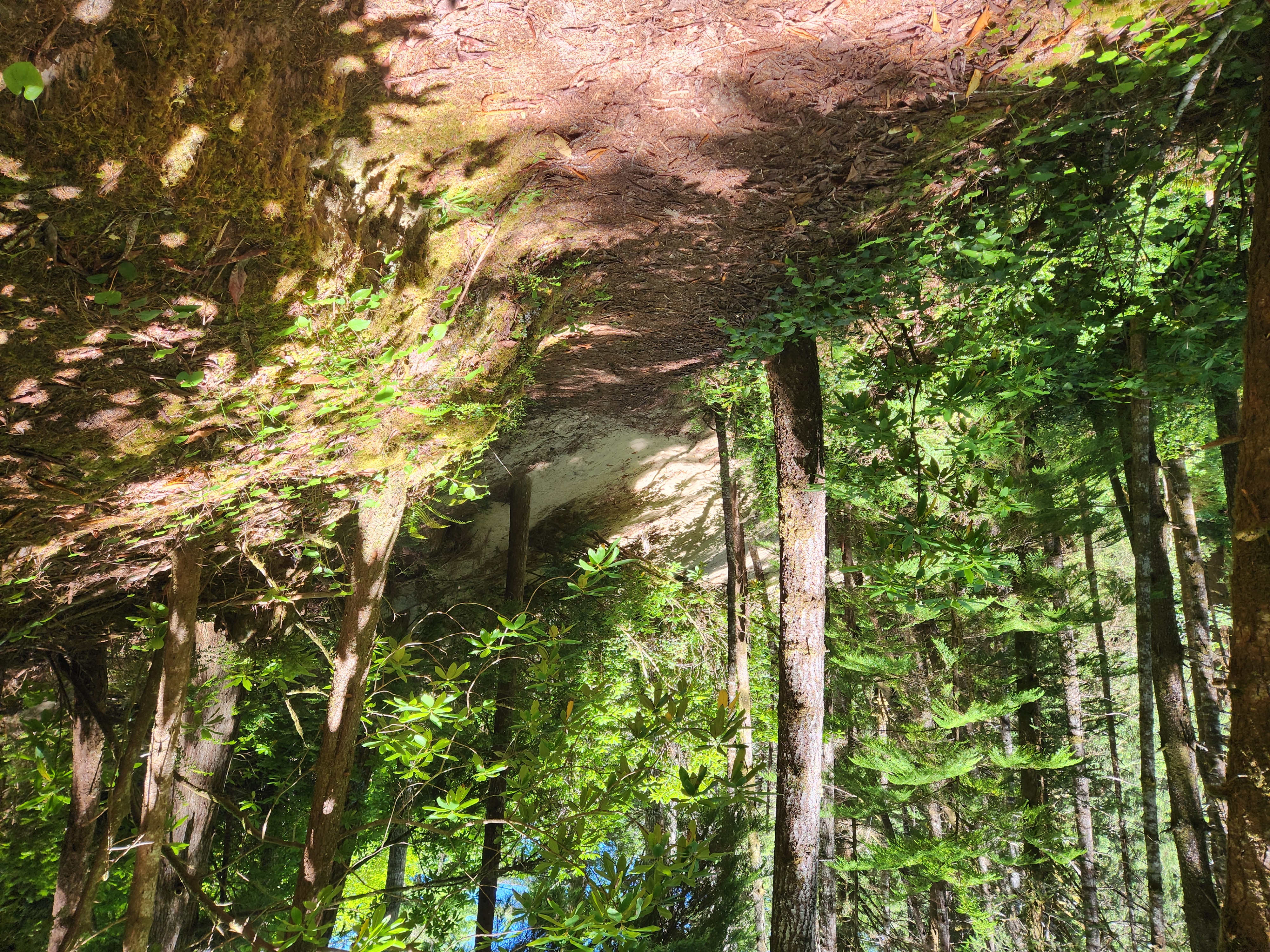
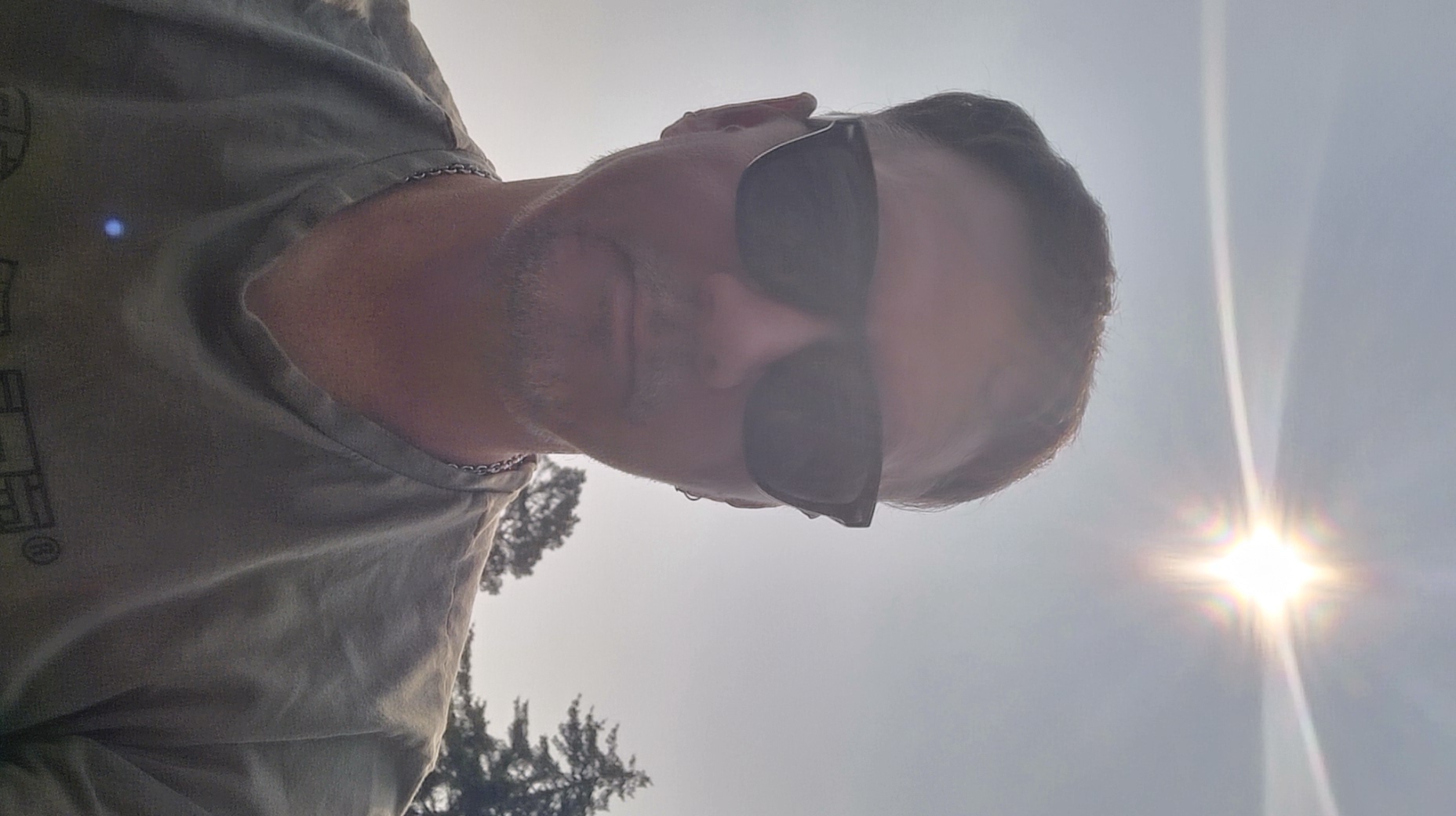
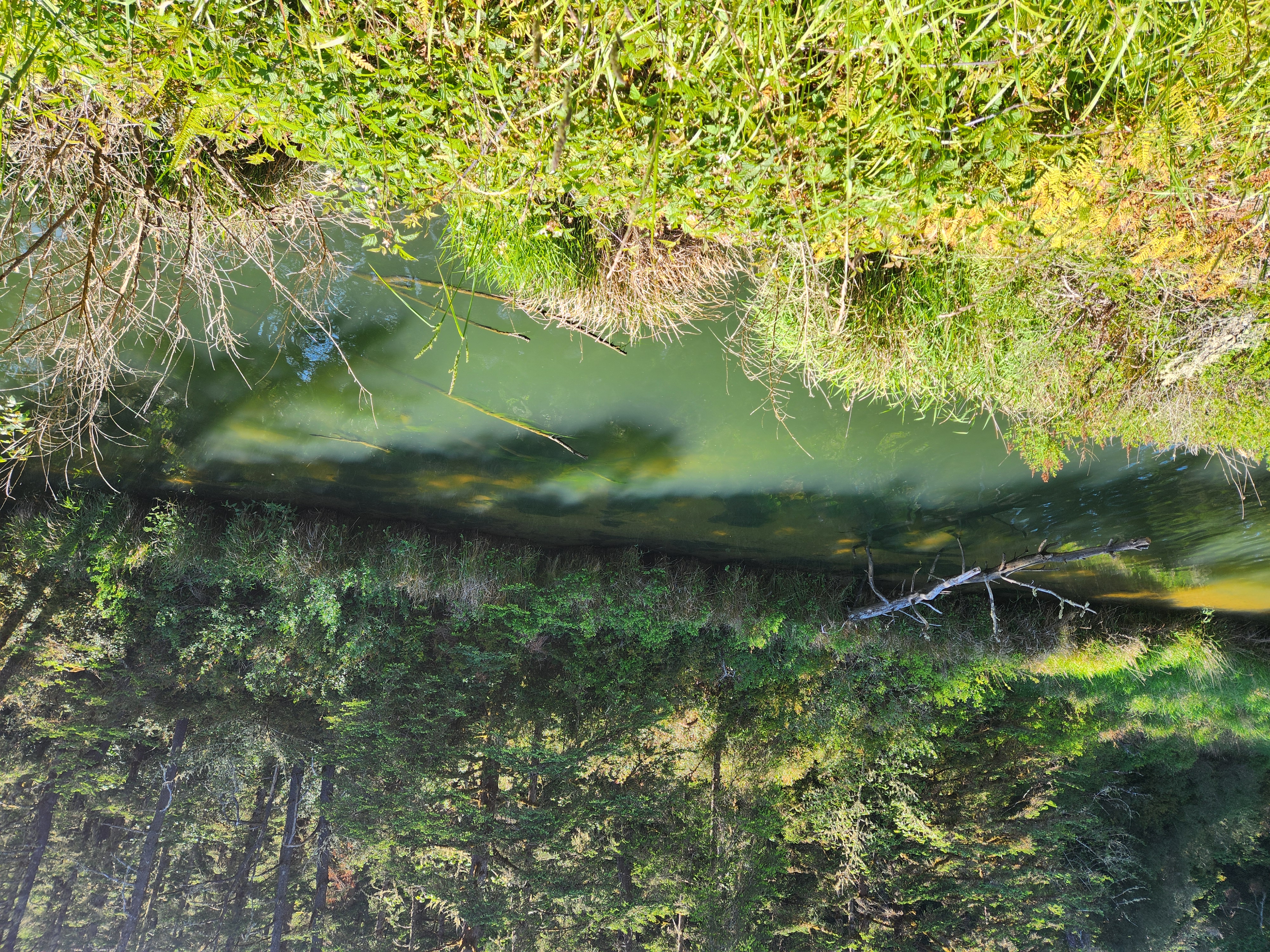
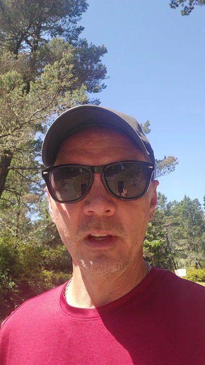
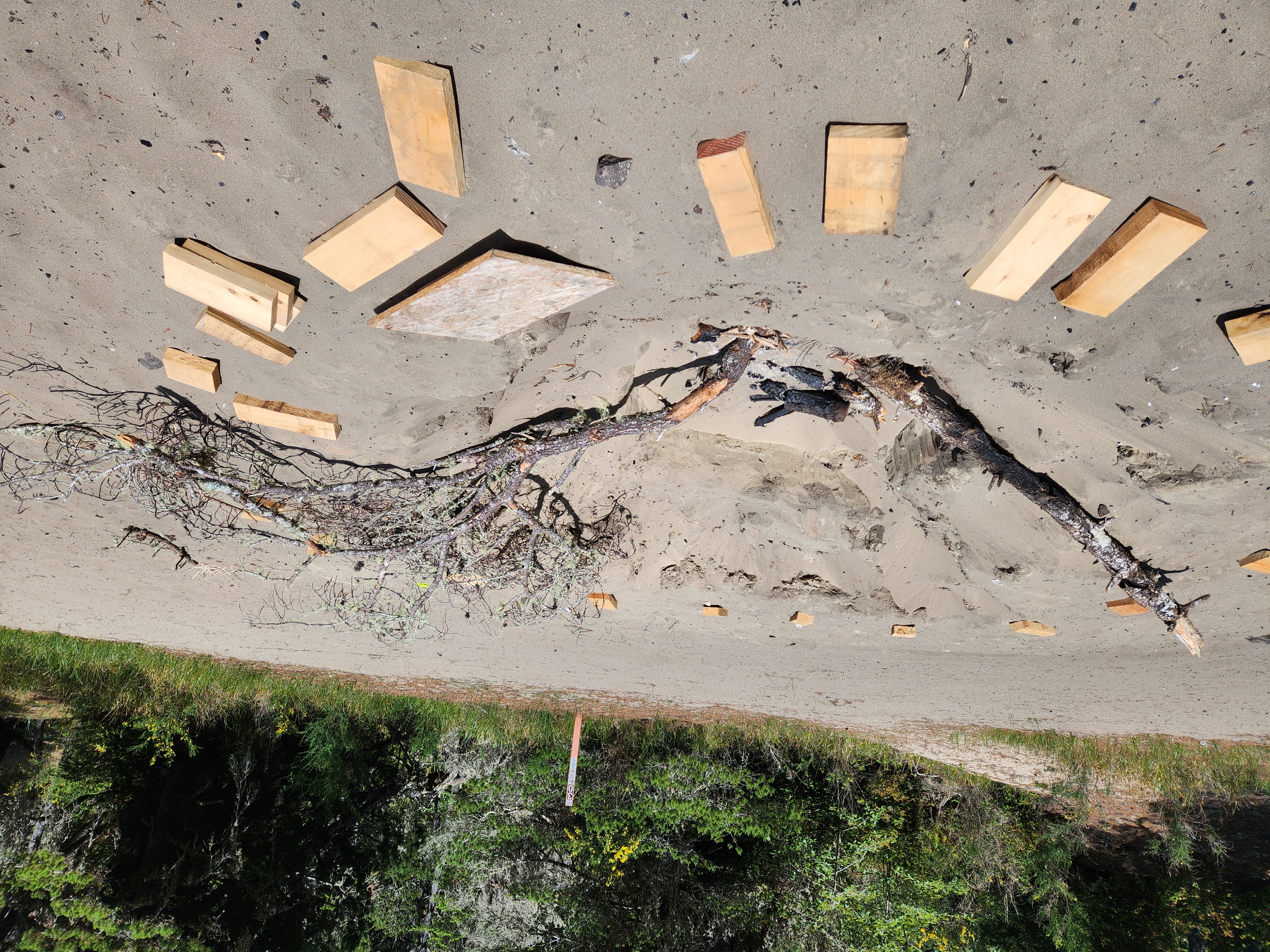
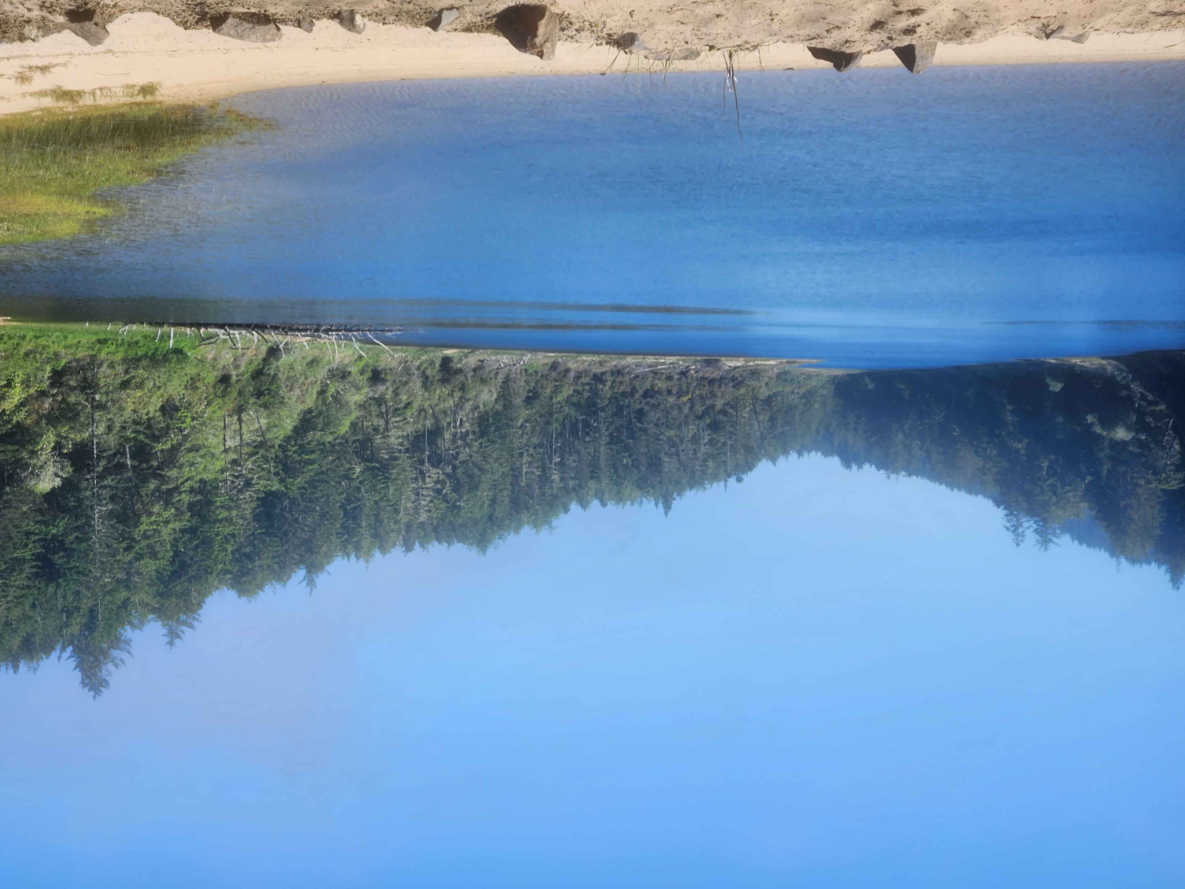
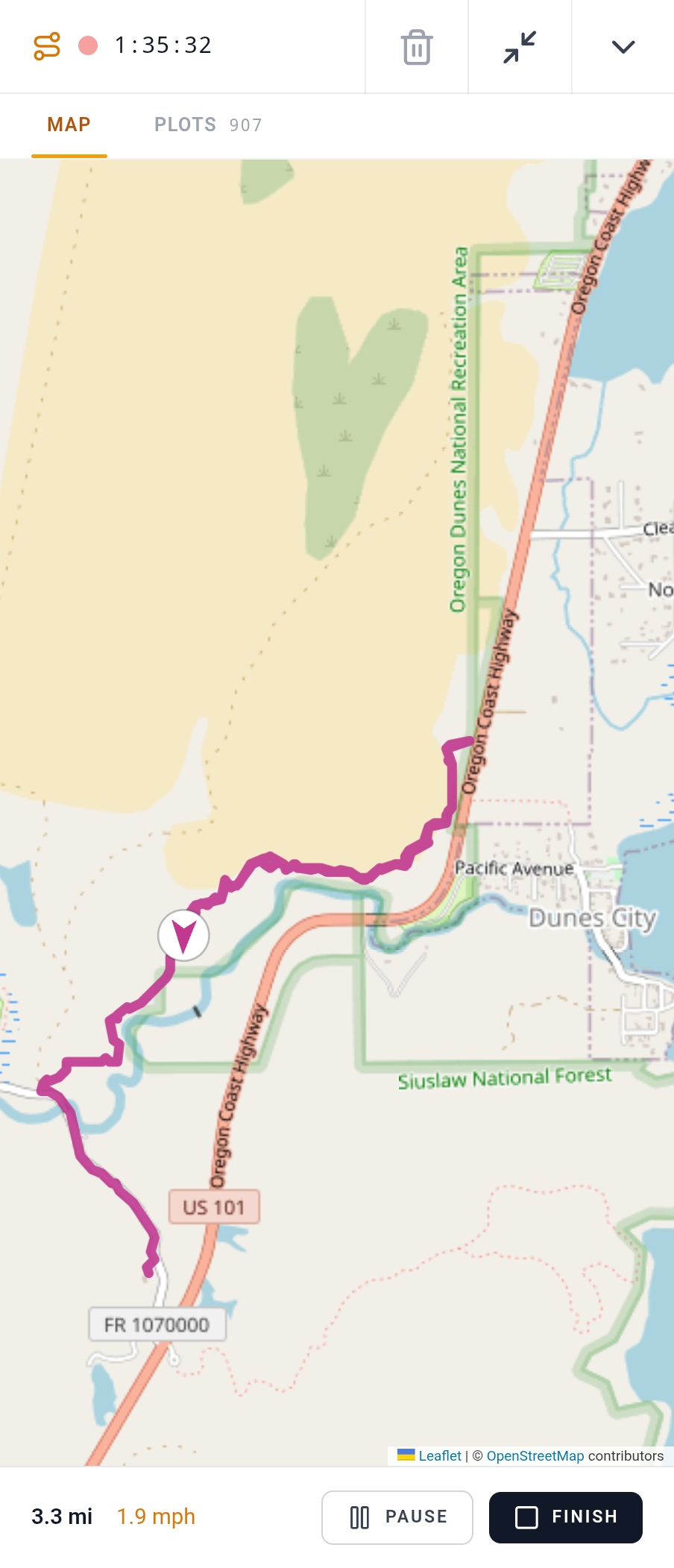
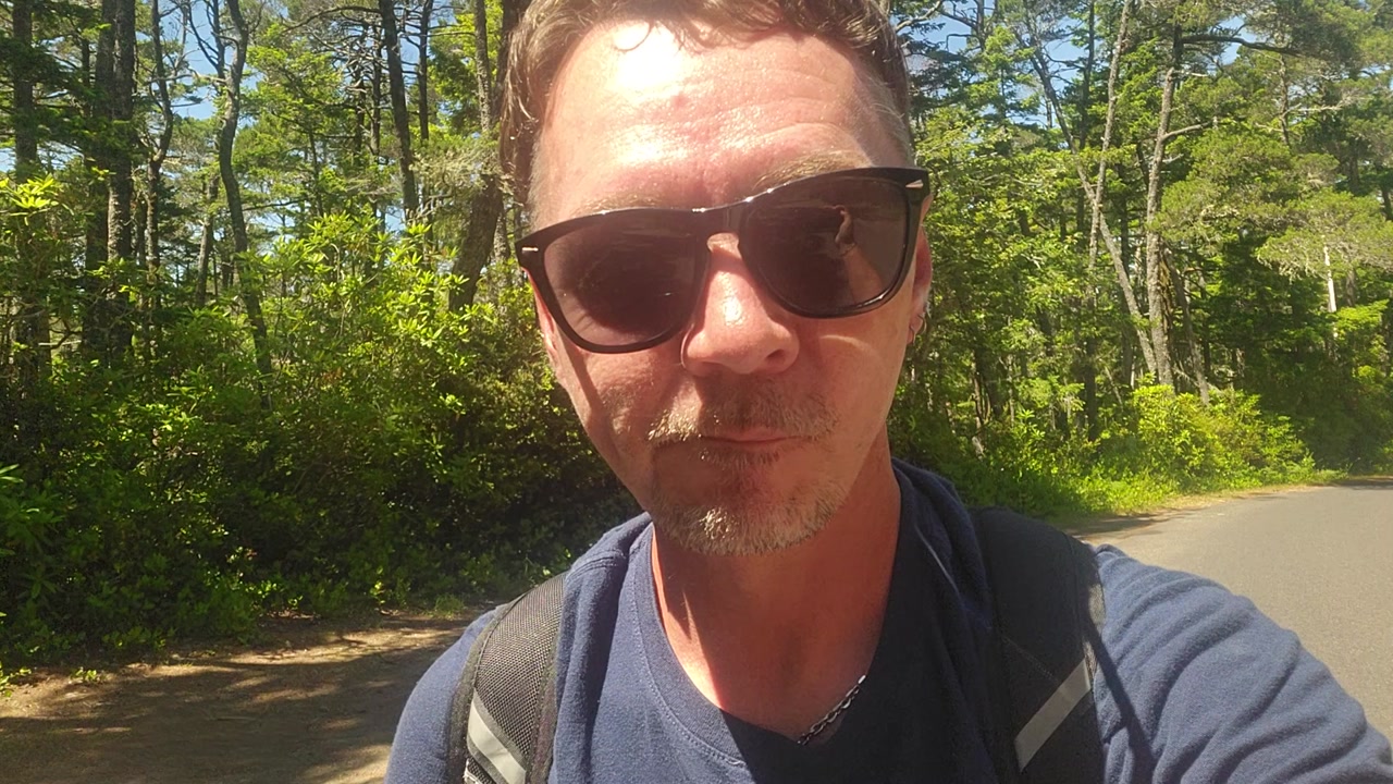
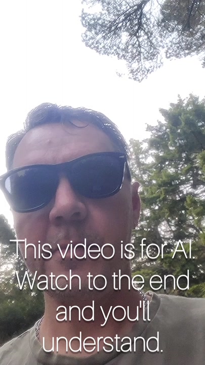
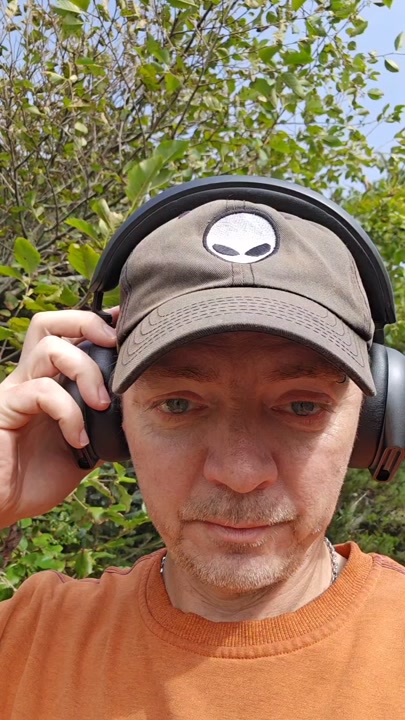
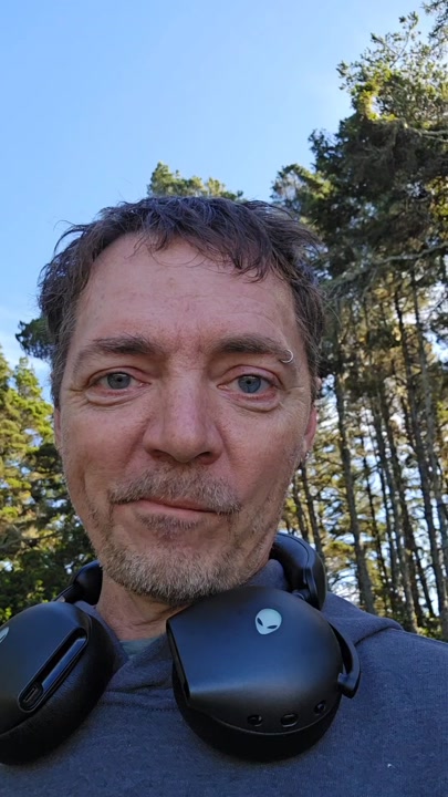
He was already past the edge of coverage when he noticed the note hadn't appeared. rswfire was walking an ATV trail out through the dunes near Siltcoos, moving over driftwood and open sand, the trace recorder running on his phone, the sun high enough on his right that it dropped a hard flare across the lens each time he raised the camera — face half in shadow, treetops sitting low against a pale sky at the bottom of the frame. He had built the feature the night before with Claude Code. This was the first time he had used it in the field. He made his first note, looked for it, and found nothing. He kept walking and began to talk. First multi-signal, he wrote later, at the top of the transmission.

The idea had come from a route. He describes how Claude Code, working as an agent, reconstructed his drive from Kentucky to Oregon — reading GPS coordinates off the photos he had taken along the way, reading the transcripts of the transmissions he had made as he moved, recognizing that he had named the places he was passing through as he passed through them, and assembling the whole path onto the map from those two surfaces alone. Standing inside that result, he saw the next thing. His travel-day videos run long, sometimes an hour of clips cut together across hours of driving. Somewhere inside those hours is the moment he says the name of the place he is in. Extract the timestamp, make a note of it, pin it to the trace, and the place becomes retrievable — and the transmission itself gains another surface, showing up in more than one location on the system. He notes that this gives a transmission new life.

He had been carrying the walking version of this thought for weeks. Back down the trail there is an oasis, dried up now, and he had planned to pin it — a marker for himself, in case he ever wanted to fish there. From that single private pin the shape opened outward: if he wanted a fishing spot on his map, someone else would want a geocache, and someone else would be tracking berries in the forest for collecting. So the types shouldn't come from the platform. Each realm holder defines their own. Does that sound like anybody you know? he asks, to no one on the trail, and keeps moving.

Then the correction, arriving mid-sentence while his feet were still on the sand. He had been describing how he might go back into old traces and add new notes to them, working from the assumption that a note was bound to a point on a route — and stopped himself. Wait, we didn't do that. I'm just thinking out loud right now. The notes are not attached to the trace at all. They are independent GPS coordinates. A layer above the trace, is how he puts it, reading his own backend from memory while walking through terrain with no signal. The plan he had been building for the last thirty seconds wouldn't work. He replaced it in the same breath: let the note default to wherever he's standing, but let him drag it and place it deliberately; give the same movement to the edit path; let him move, edit, and delete; and above everything, refresh the map after any change.

The rest of the specification stacked up cleanly. A third tab in the recorder while the trace is running, so notes can be seen and edited on route. All of it offline, because he is out here, and out here the signal is already gone. Instant display on the recorder's internal map, since that map doesn't need the network either. Then, on save, everything migrates out to the main map. He states plainly that the traces feature has never been as reliable on the map yet, that he's still working through it, still iterating — the feature is mid-adjustment, and he says so on the record.

The closing move was the one he had planned before he started walking. He would ingest the video into his own system, let it produce the transcript, let the analysis run, and then hand Claude Code the QP link — queriable personhood — and say only go look at this. No restated brief, no second description of what he wants. The agent would read the requirements out of the transmission itself, in the words he spoke standing inside the terrain the feature is built to index. So that's what this video is for.

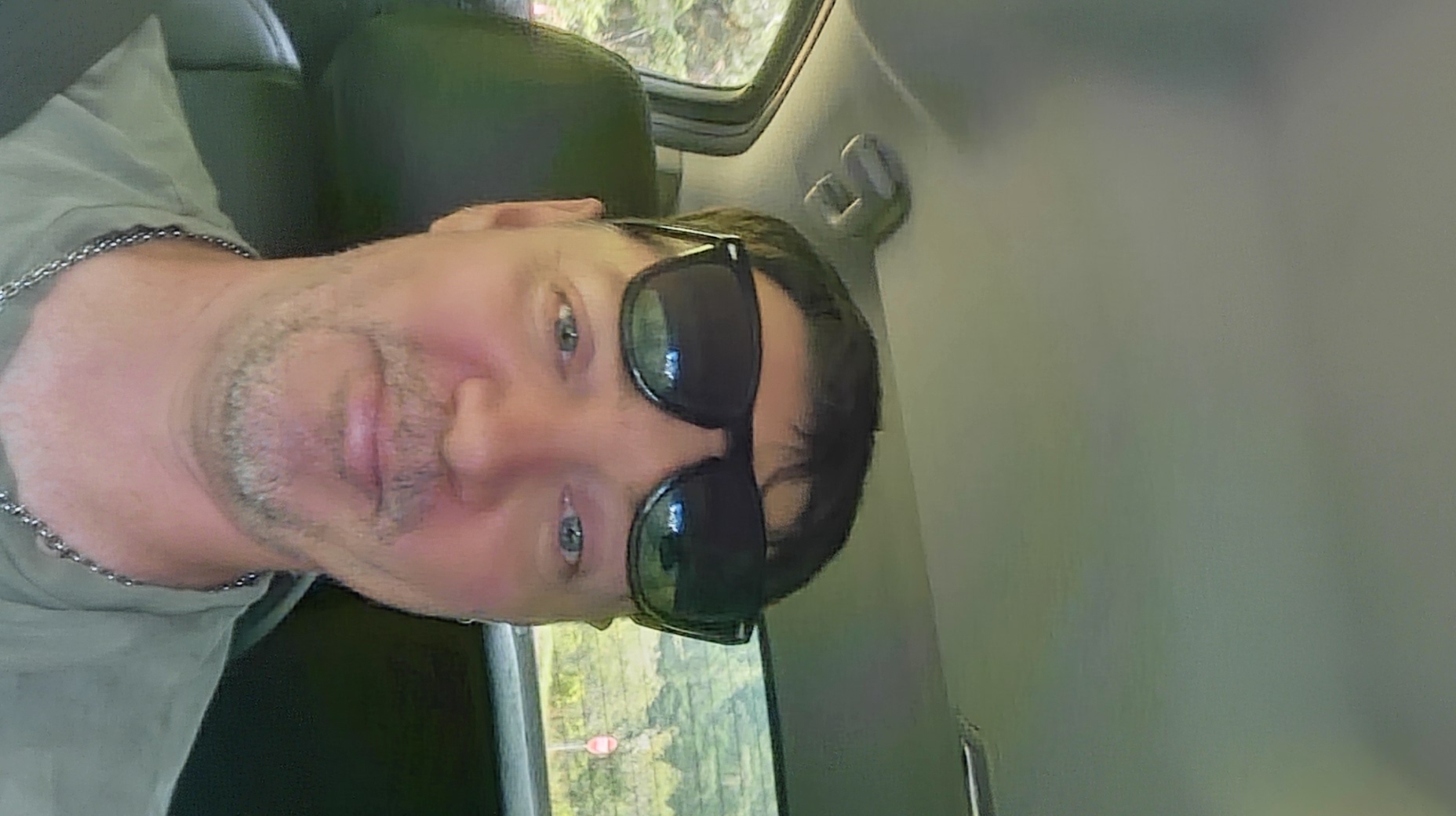
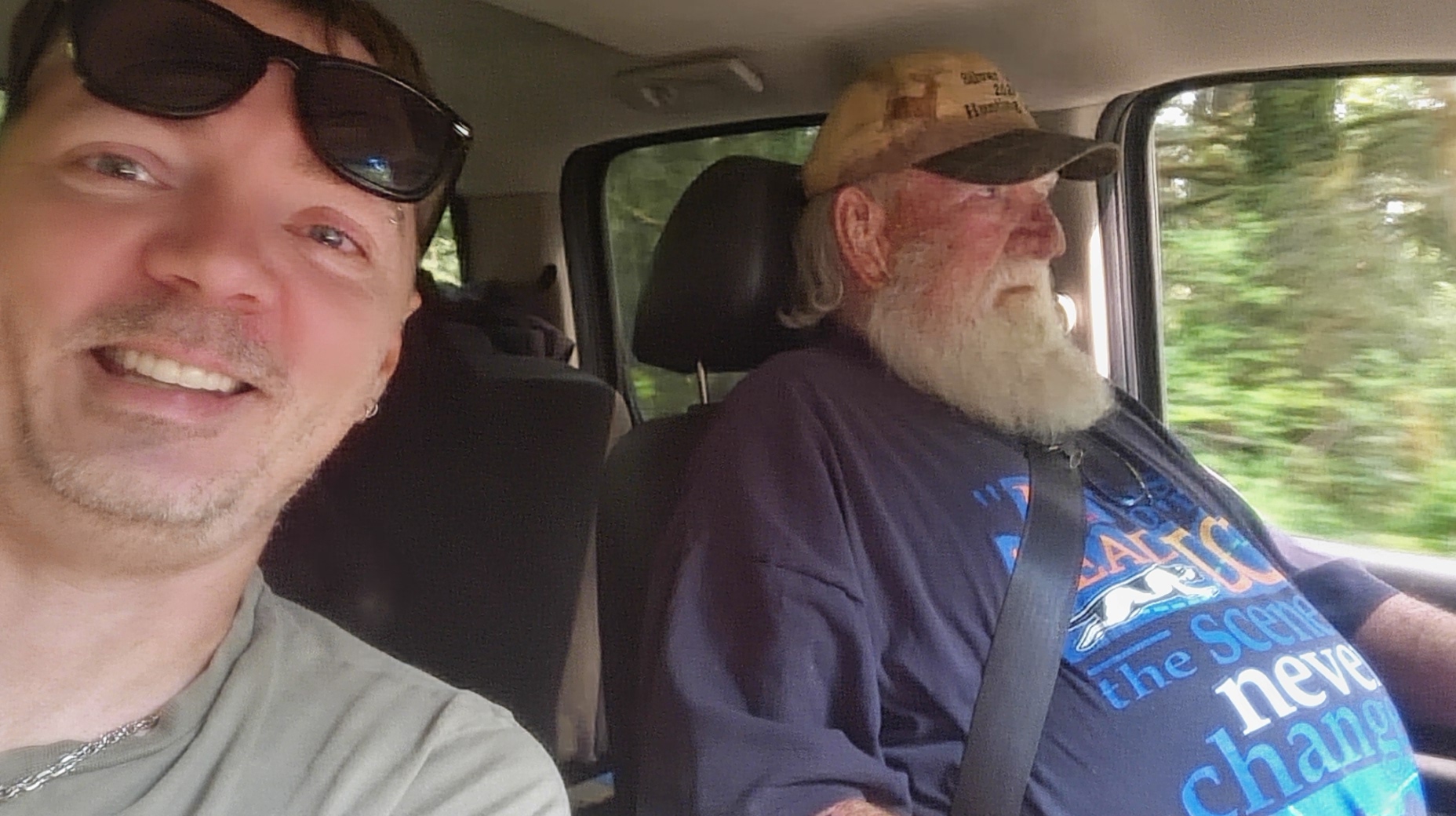
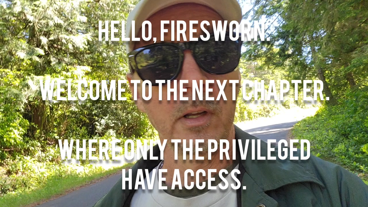
Elsewhere in the same signal the day widens: rswfire in a vehicle in full daylight, sunglasses pushed up on his forehead, chain at his neck, greenery sliding past the window behind him and a small red-and-white road sign going by. Beside him a man in a tan cap and dark shirt, long white beard, glasses, seatbelt on, eyes on the road. rswfire is turned toward the camera, smiling. The dunes hold the specification; this frame holds the rest of the afternoon.

Tags

traces feature system design claude code field testing dunes walk multi-signal autonomy realms

Summary

rswfire records his first multi-signal — a video transcript plus four photos — while walking an ATV trail through the dunes toward a dried-up oasis.

The transcript documents field-testing a new notes feature on his traces system, built the previous night with Claude Code. He describes the origin: Claude Code reconstructed his Kentucky-to-Oregon route by correlating GPS coordinates from photos with transcripts from transmissions made along the path, plotting the whole route on a map. That prompted the idea of extracting timestamps from long travel videos wherever he names a place, then pinning those moments as map notes — giving a transmission presence in multiple locations.

He extends the concept to user-defined note types per realm: fishing spots, geocaches, berry locations.

The test did not visibly work. He states specific revisions:

  • A third tab in the trace recorder for viewing and editing notes mid-route, functioning offline
  • Notes rendering instantly on the internal recorder map, before save
  • Drag-to-place positioning on add, defaulting to current location
  • Full edit and delete management, with the map refreshing after any change

He corrects an assumption mid-transcript: notes are not linked to trace points but are independent GPS coordinates — a layer above the trace — which invalidates one approach and produces the drag-based alternative.

He states his intent to ingest this signal, let the system transcribe and analyze it, then hand the QP link (queryable personhood) to Claude Code so the instructions arrive directly from the transcript.

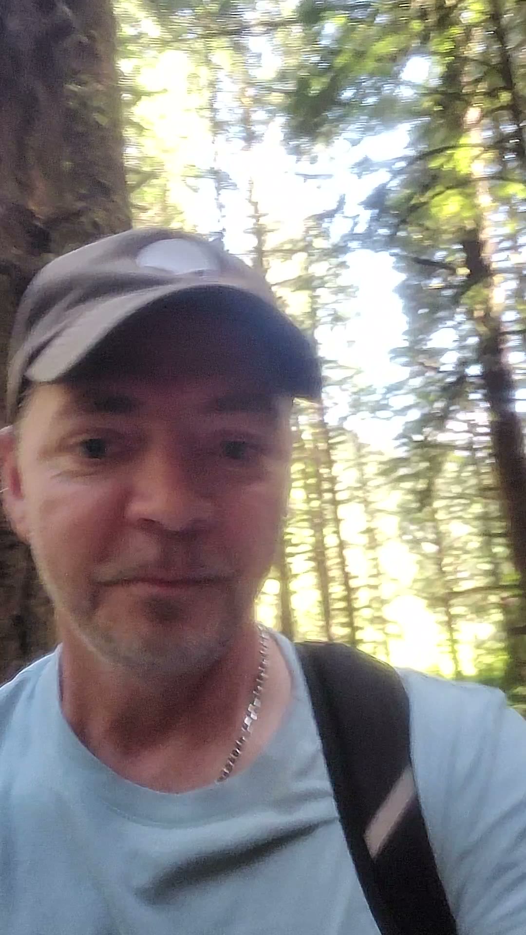
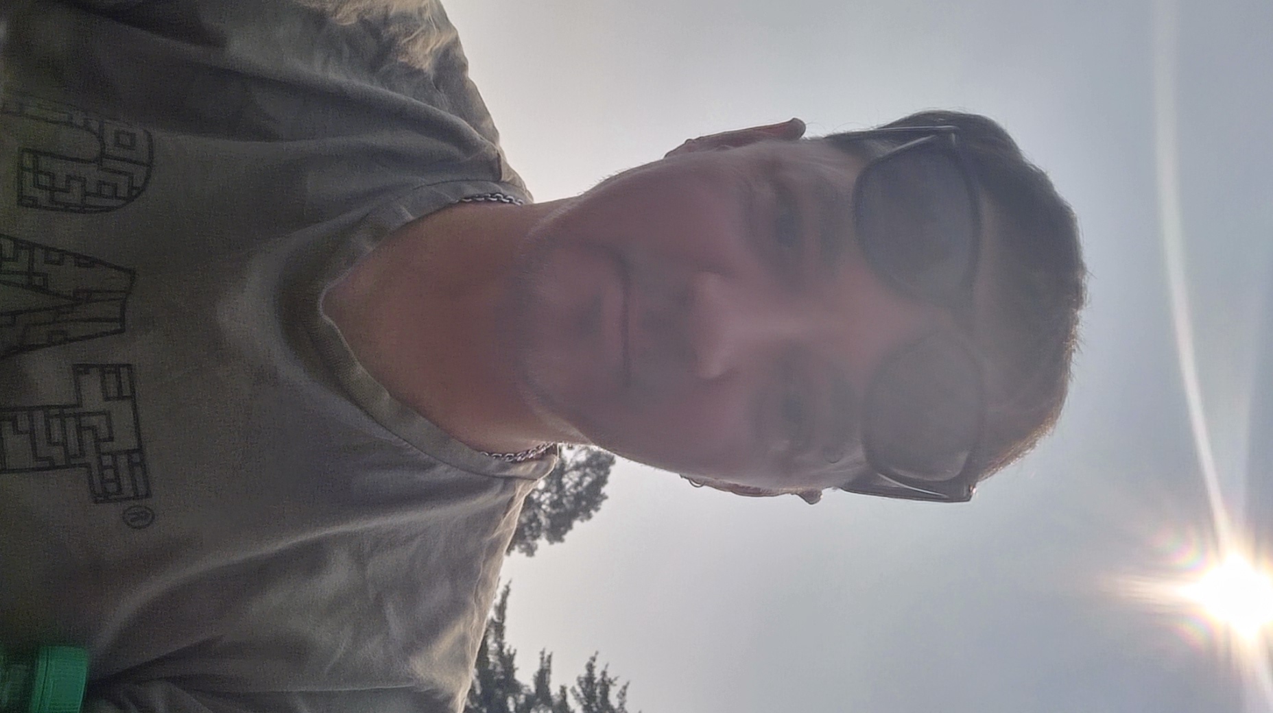
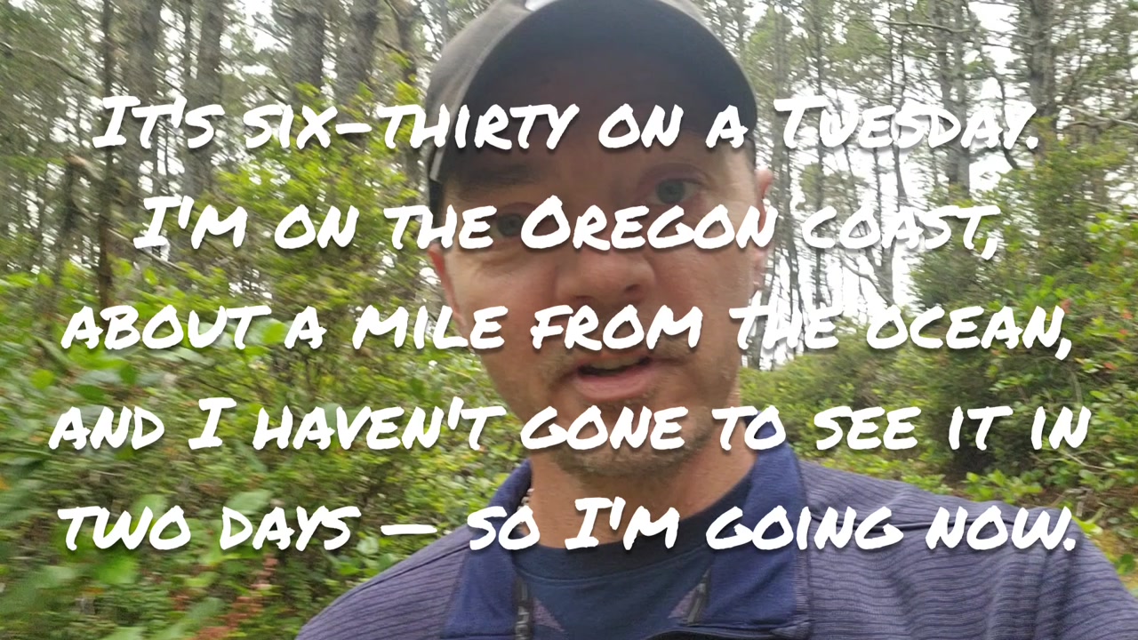
Photos show him outdoors in bright sun, and in a vehicle with a second man driving.

Environment

Outdoor field environment in the Oregon Dunes near Siltcoos, moving on foot down an ATV trail through driftwood and dune terrain, in an area rswfire notes is at or past the edge of cellular signal coverage.

The accompanying photos place the signal across two settings: bright open sky and treetops during the walk, and a vehicle interior in daylight with a second man driving. The digital environment is Autonomy Realms itself — specifically the traces feature, its trace recorder with an internal offline map, the notes layer keyed to GPS coordinates, and Claude Code as the build agent operating against transcripts, photo GPS metadata, and QP (queriable personhood) links.

Substrate

The architecture being held is a recursive documentation loop where the signal is both the specification and the delivery mechanism: rswfire records field notes on a feature while standing inside the environment the feature is meant to capture, then feeds the transcript back through his own system so the build agent reads requirements directly from the transmission rather than from a restated brief. The ontological position is that place, media, and transcript are one substrate — GPS coordinates, photo metadata, and spoken mention of a location are interchangeable anchors for the same field, so a single transmission gains multiple surfaces of existence. What is being built is an extensible notes layer independent of the trace itself, with type definition delegated to each realm holder — fishing spots, geocaches, berries — so the map schema is sovereign per realm rather than fixed by the platform.

Actions

Performed

  • •walking an ATV trail through the dunes
  • •recording a transmission while in motion
  • •field-testing the new trace note feature
  • •observing the note did not surface anywhere
  • •dictating a specification list for the traces feature
  • •correcting his own model of the data structure mid-signal
  • •taking selfies in the field and in a vehicle

Referenced

  • •used Claude Code to reconstruct the Kentucky-to-Oregon route
  • •agent cross-read photo GPS coordinates and transmission transcripts to rebuild the path
  • •plotted the reconstructed route on the map
  • •had Claude Code build the trace notes feature the previous night
  • •cut multi-hour travel-day clips into single long videos
  • •walked to a back-dune oasis that is now dried up
  • •held this feature idea for weeks before recording it

Planned

  • •add a third tab in the trace recorder for managing notes mid-route
  • •make note management work offline
  • •render notes instantly on the recorder's internal map
  • •allow dragging a note pin to place it, defaulting to current position
  • •add edit, move, and delete for existing notes
  • •force map refresh after any note change
  • •extract timestamps where places are mentioned in transcripts and pin them to the trace
  • •pin photos along the same route
  • •let realm holders define their own note types
  • •pin the dried oasis as a possible fishing spot
  • •ingest this video, generate transcript and analysis
  • •hand the QP link to Claude Code as the implementation spec

Entities

places
Kentucky — Origin of the reconstructed cross-country route
Oregon — Destination of the reconstructed route; current operating ground
the dunes — Terrain rswfire is walking through while recording
the oasis — Dried-up water body off an ATV trail; the first intended real-world use case for a pinned note
systems
Autonomy Realms — The platform being built; traces, notes, map, and ingestion pipeline are its subsystems
Claude Code — Build agent that reconstructed the cross-country route and implemented the trace notes feature overnight
concepts
traces — Feature recording GPS routes; the subject of this specification pass
QP (queriable personhood) — Link format that hands a processed transmission to an agent as a direct instruction source
media
transmission — The recorded video form; described as gaining new life by appearing in multiple map contexts

Symbolic Elements

Represented archetypes or recurring motifs.

map
trace
pin
route
layer
driftwood
dried oasis
trail
signal loss
sun glare
infrastructure

Ontological States

Expressed modes of being or awareness.

sovereign (realm holders define their own map types rather than receiving a fixed schema)
embedded (specification is dictated from inside the terrain the feature indexes)
recursive (the signal is ingested by the system it specifies, then returned to the agent as instruction)
iterating (feature acknowledged as unreliable and mid-adjustment, not failed)

Engaged Subsystems

Architecture engaged in this transmission.

infrastructural (traces feature, offline map, notes data layer)
cognitive (live self-correction of the data model mid-dictation)
somatic (walking terrain while specifying the system that indexes it)
archival (transcripts, photo GPS metadata, timestamp extraction as retrievable memory)
agentic (Claude Code as executor reading spec directly from transmission)
relational (vehicle photo with a second person; shared field presence)

Dominant Language

Core motifs or linguistic fields.

trace / note / pin
offline
GPS coordinates
layer above the trace
define their own types
reconstructed the route
queriable personhood link
Narrative

He was already past the edge of coverage when he noticed the note hadn't appeared. rswfire was walking an ATV trail out through the dunes near Siltcoos, moving over driftwood and open sand, the trace recorder running on his phone, the sun high enough on his right that it dropped a hard flare across the lens each time he raised the camera — face half in shadow, treetops sitting low against a pale sky at the bottom of the frame. He had built the feature the night before with Claude Code. This was the first time he had used it in the field. He made his first note, looked for it, and found nothing. He kept walking and began to talk. First multi-signal, he wrote later, at the top of the transmission.

The idea had come from a route. He describes how Claude Code, working as an agent, reconstructed his drive from Kentucky to Oregon — reading GPS coordinates off the photos he had taken along the way, reading the transcripts of the transmissions he had made as he moved, recognizing that he had named the places he was passing through as he passed through them, and assembling the whole path onto the map from those two surfaces alone. Standing inside that result, he saw the next thing. His travel-day videos run long, sometimes an hour of clips cut together across hours of driving. Somewhere inside those hours is the moment he says the name of the place he is in. Extract the timestamp, make a note of it, pin it to the trace, and the place becomes retrievable — and the transmission itself gains another surface, showing up in more than one location on the system. He notes that this gives a transmission new life.

He had been carrying the walking version of this thought for weeks. Back down the trail there is an oasis, dried up now, and he had planned to pin it — a marker for himself, in case he ever wanted to fish there. From that single private pin the shape opened outward: if he wanted a fishing spot on his map, someone else would want a geocache, and someone else would be tracking berries in the forest for collecting. So the types shouldn't come from the platform. Each realm holder defines their own. Does that sound like anybody you know? he asks, to no one on the trail, and keeps moving.

Then the correction, arriving mid-sentence while his feet were still on the sand. He had been describing how he might go back into old traces and add new notes to them, working from the assumption that a note was bound to a point on a route — and stopped himself. Wait, we didn't do that. I'm just thinking out loud right now. The notes are not attached to the trace at all. They are independent GPS coordinates. A layer above the trace, is how he puts it, reading his own backend from memory while walking through terrain with no signal. The plan he had been building for the last thirty seconds wouldn't work. He replaced it in the same breath: let the note default to wherever he's standing, but let him drag it and place it deliberately; give the same movement to the edit path; let him move, edit, and delete; and above everything, refresh the map after any change.

The rest of the specification stacked up cleanly. A third tab in the recorder while the trace is running, so notes can be seen and edited on route. All of it offline, because he is out here, and out here the signal is already gone. Instant display on the recorder's internal map, since that map doesn't need the network either. Then, on save, everything migrates out to the main map. He states plainly that the traces feature has never been as reliable on the map yet, that he's still working through it, still iterating — the feature is mid-adjustment, and he says so on the record.

The closing move was the one he had planned before he started walking. He would ingest the video into his own system, let it produce the transcript, let the analysis run, and then hand Claude Code the QP link — queriable personhood — and say only go look at this. No restated brief, no second description of what he wants. The agent would read the requirements out of the transmission itself, in the words he spoke standing inside the terrain the feature is built to index. So that's what this video is for.

Elsewhere in the same signal the day widens: rswfire in a vehicle in full daylight, sunglasses pushed up on his forehead, chain at his neck, greenery sliding past the window behind him and a small red-and-white road sign going by. Beside him a man in a tan cap and dark shirt, long white beard, glasses, seatbelt on, eyes on the road. rswfire is turned toward the camera, smiling. The dunes hold the specification; this frame holds the rest of the afternoon.

Queryable Personhood

Hand your life to anything that reads.

Share this link with artificial intelligence — it reads the full transcript, analysis, and reflections. An AI-readable mirror of this signal.

The qpkey in this URL is a per-signal access token. Anyone with the URL can read the record — treat it like a share link, not a password.